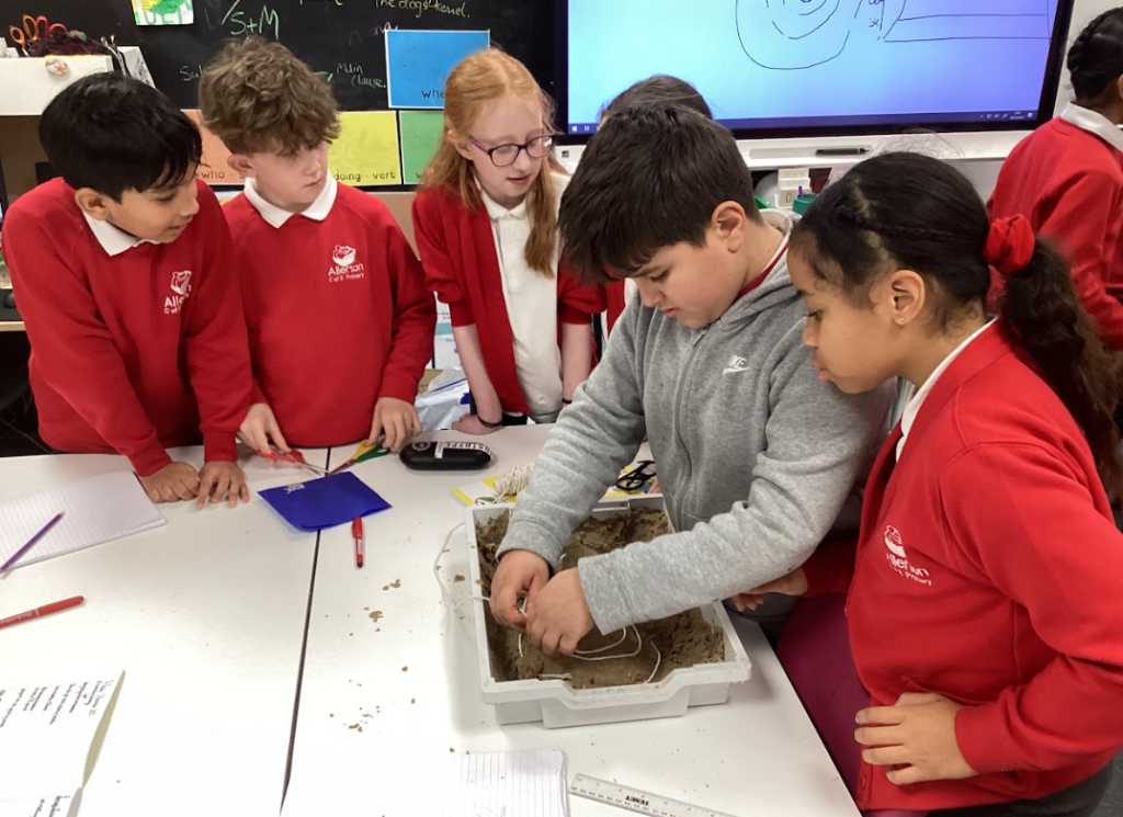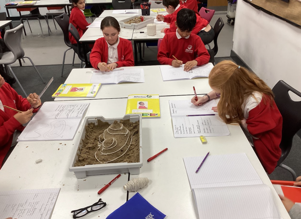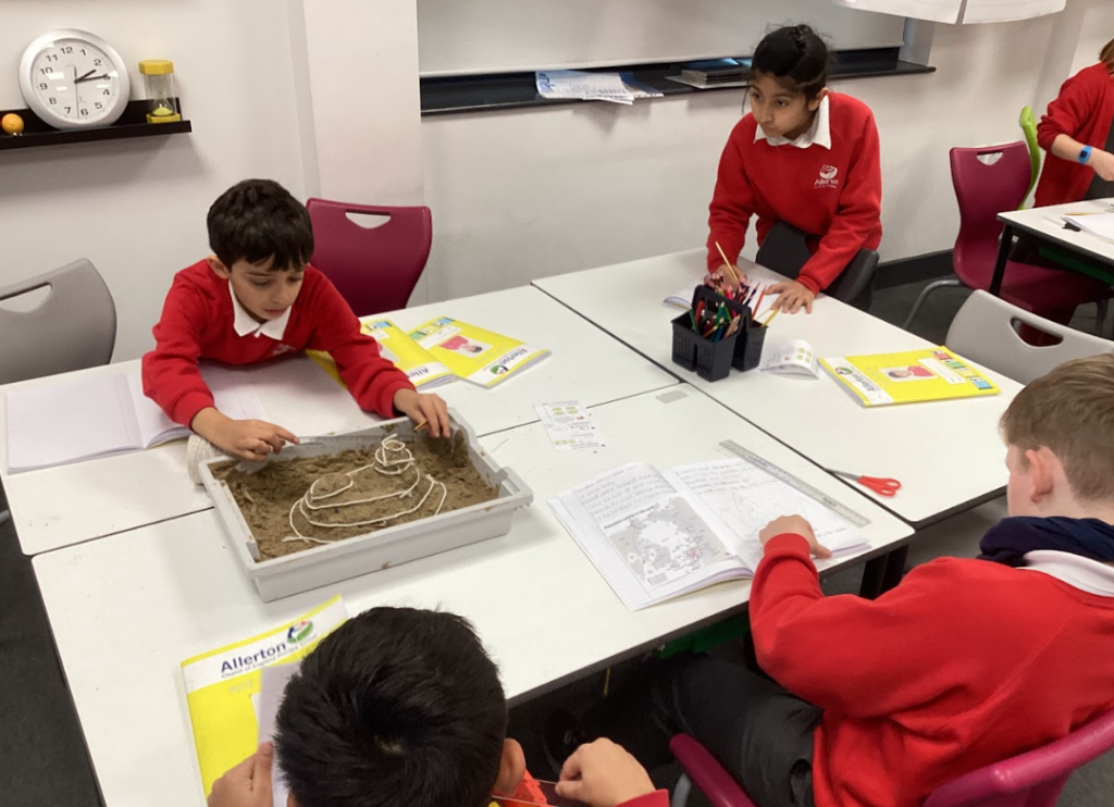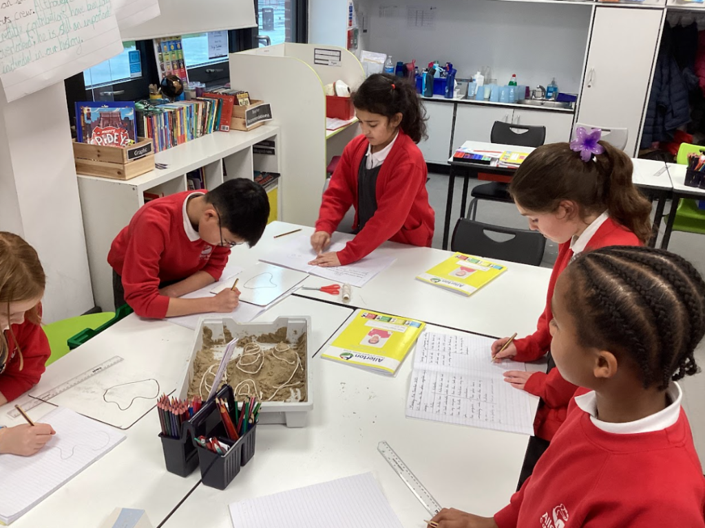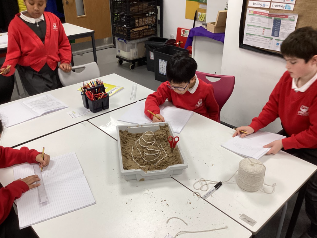
The children in a Geography lesson before the half-term were looking at topographic maps which show elevation from sea level and how high certain terrain is. We used this to look at where glaciers in the world are and compared it to areas of high topography to search for patterns. As topographical maps can be a challenging concept to cover, I decided to give the children a different way of using them.
The children ended up making their own sandcastle mountain terrain and used string to mark the lines of topography around the “mountains”.